Coastal farming
Urbor
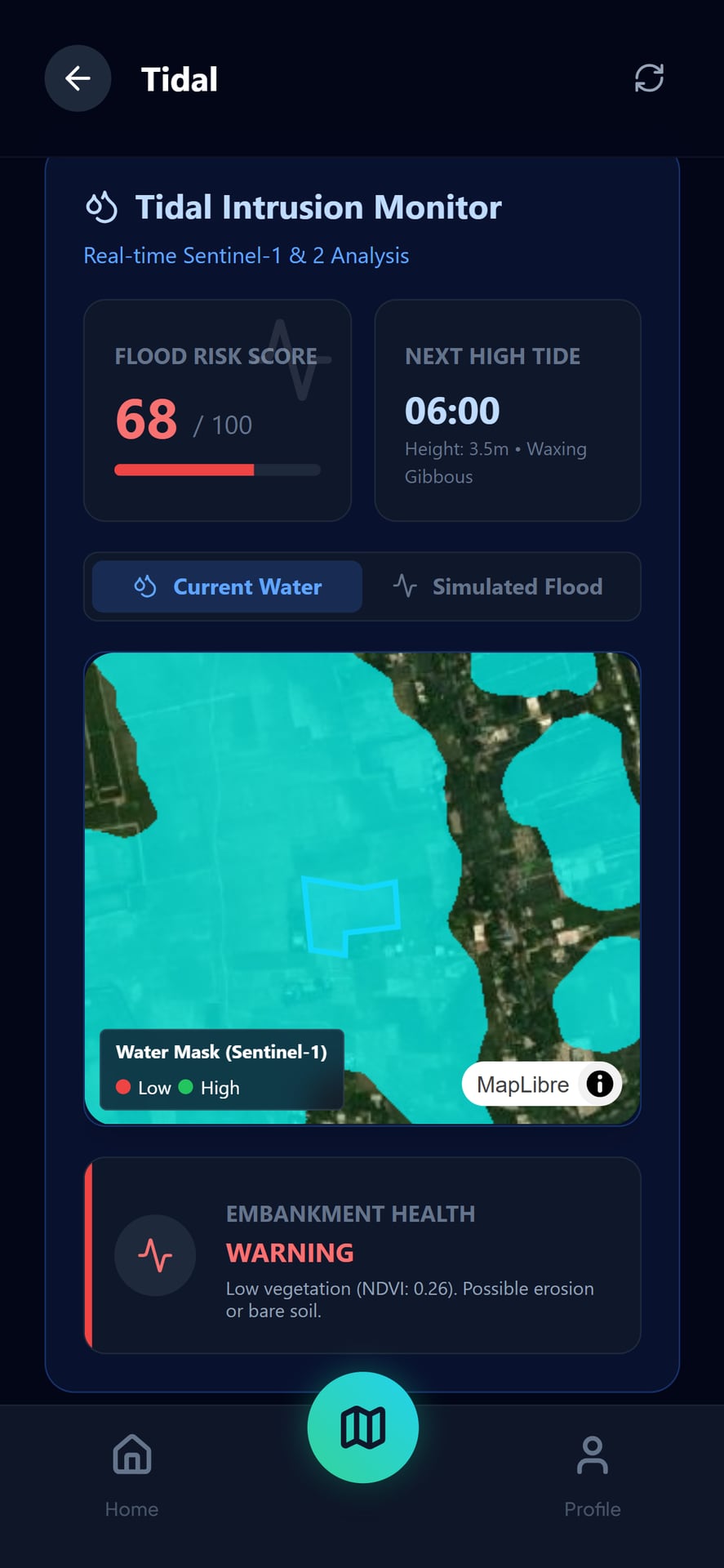
Salt water keeps moving inland and farmland goes out of use behind it. Urbor pulls the salt out of the ground and texts a farmer before the next tide.
The product
How it works
01
Watch the plot
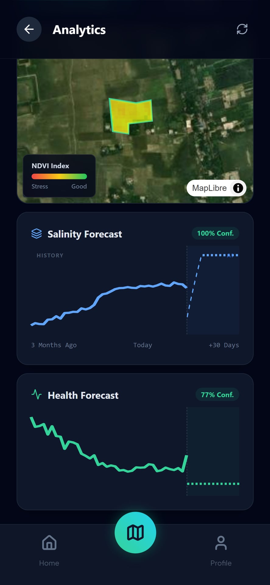
Satellite imaging and micro-climate data, plot by plot.
02
Forecast the salt
Intrusion zones projected 14 days out.
03
Send a text
Three days before it arrives. No app needed to receive it.
04
Track the recovery
Season by season, so progress is visible.
The cycle
Where it stands
In the field
5,000+ farmers along the coast, with its own site, app and partner network.
Recognised
Global Winner of ImaGen Ventures 2024, a Youth4Climate grant recipient, and in the SAFFAL 2025 cohort.
Want this where you are?
We would rather have it running somewhere useful than sitting in a demo.